
Why the A44 matters
The A44 is Woodstock's main north–south route, but it is also the street people use to reach homes, schools, shops and bus stops. Through Old Woodstock there are narrow pavements, tight bends and places where the carriageway leaves very little room for people walking or cycling.
For many residents there is no practical alternative route into the town centre. That makes road safety part of everyday life, not an abstract transport issue.
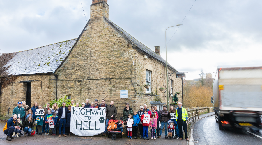
What we want to see next
An off-road walking and cycling route towards the town centre, schools and services.
Better places to cross the A44 where homes, schools, bus stops and the town centre sit on opposite sides.
A safer connection towards Wootton and the B4437/Judds Garage junction.
Better active-travel links towards Bladon and Hanborough railway station.
Explore the detailed maps & proposals →
Creating a connected network
Safer travel is not one scheme or one stretch of road. It is a network: lower traffic speeds, well-placed crossings, useful cycle parking and continuous routes that people of different ages and confidence levels can actually use.
Sustainable Woodstock works with Woodstock Town Council, Oxfordshire County Council, Blenheim and neighbouring communities to keep those practical improvements moving forward as development and transport plans change.
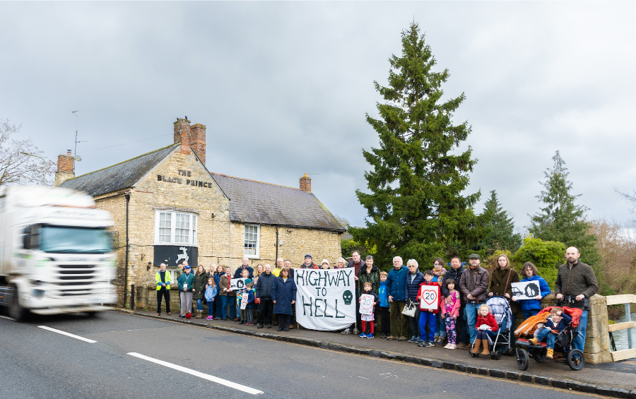

Beyond the town boundary
People also need safe ways to travel between Woodstock, Bladon, Hanborough, Combe, Stonesfield, Wootton and Blenheim. The Villages Travel Network brings those communities together around a shared ambition for walking, cycling and public transport.
Visit the Villages Travel Network ↗
Help shape the work
Local knowledge is invaluable. If there is a crossing that feels unsafe, a route your children would use if it were protected, or a missing link that makes you reach for the car, tell us. Those everyday experiences help build the case for better infrastructure.